
INDUSTRIAL SOLUTIONS
Technology can be used to gather information about ongoing projects, make decisions, and create marketing materials. Examples include drones for aerial footage, timelapse photography to document progress, 3D modeling for visual representation, and virtual reality tours for immersive experiences. In addition to assisting with decision-making and project management, these technologies can also be used to showcase your company's projects and attract new clients.


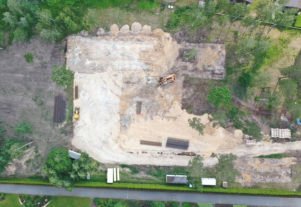
AREA MAPPING
2D area mapping by drone can be used for a variety of applications, including surveying land, creating topographic maps, and mapping out construction sites. It can be especially useful for businesses that need to gather accurate, up-to-date information about a specific area, as it allows them to quickly and efficiently capture high-resolution imagery from the air.

TIMELAPSE
Timelapse involves capturing a series of photographs or video frames at intervals over a period of time and then combining them into a single, high-speed video. This can be used to showcase the progress of construction projects, document events, or create visually striking content for marketing and advertising campaigns


SITE INSPECTION
Using drones for building site inspections can save time and money compared to traditional methods, as it allows you to quickly and easily capture high-resolution aerial imagery and data from the air. This can be especially useful for identifying potential problems or issues that may not be visible from the ground.